Imagine waking up to the sound of moving water, a trout rise in the side channel, and the Absarokas lighting up at sunrise. Buying near the Yellowstone River around Livingston gives you that daily connection to the river. It also asks you to buy with care. In this guide, you will learn how the river behaves, what floodplains and channel migration mean for value and risk, which permits and rules apply, and the exact due diligence steps that protect you. Let’s dive in.
Why buy near the Yellowstone
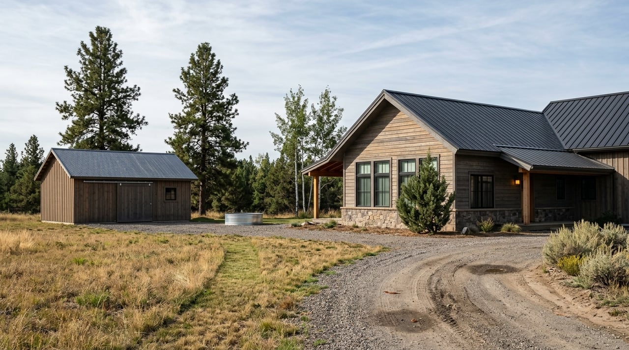
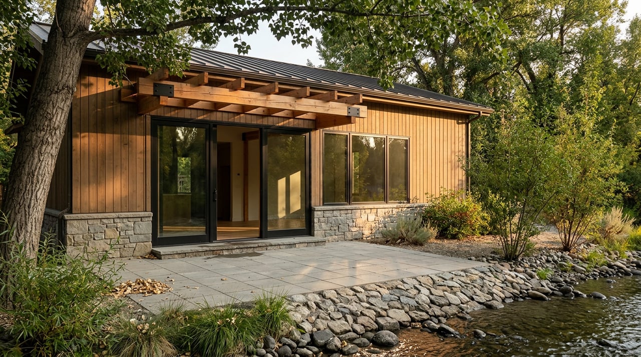
River properties here draw you in with views, wildlife, and instant access to world‑class recreation. The best parcels pair that lifestyle with practical strengths: a stable bank, usable upland above flood elevations, thoughtful site planning, and clear access and utilities. When those boxes are checked, you get both daily enjoyment and stronger long‑term value.
How the river behaves
The Yellowstone in the Livingston and Paradise Valley corridor is a snowmelt river. Flows usually peak in late spring to early summer and taper through late summer and fall. You can see real‑time and historical flows at the USGS gauge near Livingston.
The watershed saw an extreme flood in June 2022. Federal studies found that the 2022 event exceeded the 1 percent annual‑chance flood at many locations and prompted new mapping and planning work in the upper basin. Review the USGS summary of the 2022 floods to understand why current maps and rules are evolving.
Flood zones and new maps
Not all “riverfront” is alike. Some land sits in the active floodway, some in the broader floodplain, and some on higher terraces. That location affects buildability, insurance, lending, and resale.
- Montana DNRC and Park County are updating flood maps after 2022. Check the Upper Yellowstone floodplain mapping updates so you see the latest draft and preliminary information, not just older effective maps.
- Park County and the City of Livingston administer floodplain rules. Start by asking for a written floodplain determination. The county’s program page explains contacts and process: Park County floodplain program.
- If you are in city limits, the city’s adopted rules detail permits, standards, and some disclosure requirements. Review the City of Livingston floodplain regulations.
Channel migration and erosion
The Yellowstone is a meandering system that shifts laterally over decades. That movement can narrow your usable land even if your house sits above base flood elevations. The Army Corps of Engineers and partners mapped a Channel Migration Zone and a Special River Management Zone on the upper river. These tools help anticipate long‑term movement and limit cumulative bank hardening.
If a parcel lies inside these zones, your true buildable envelope may be smaller than the deeded acreage suggests. Review the Corps’ Upper Yellowstone materials and permit conditions on the USACE regulatory page, and study recent aerials and on‑site bank conditions before you commit.
Public access and privacy
Montana’s Stream Access Law allows the public to use rivers for recreation up to the ordinary high‑water mark. That means people can float or wade along the riverbed and banks up to that line, even next to private property. Read the state’s summary of the Stream Access Law so your privacy expectations match reality.
Nearby public fishing access sites make the corridor popular with anglers and floaters. If you value solitude at certain times of year, plan site layouts, screening, and approach routes with that in mind.
Permits and in‑water work
Any work at or below the ordinary high‑water mark often triggers U.S. Army Corps of Engineers review under federal law. In the Upper Yellowstone’s Special River Management Zone, many simple Nationwide Permits are limited or require pre‑construction notification. If you are considering a dock, revetment, or any fill, consult the USACE regulatory page early to understand what is feasible.
Wells, septic, and groundwater
Many parcels outside town depend on wells and on‑site wastewater systems. Soil type, seasonal groundwater, setbacks from the river, and lot layout all influence whether a septic system can be permitted and where it can go. Park County Environmental Health oversees site evaluations and permits. Expect a licensed evaluator and a formal process. Start with Park County Environmental Health to understand requirements and timelines.
Insurance and lending
If your structure sits in a Special Flood Hazard Area, most federally regulated lenders will require flood insurance. Premiums depend on zone, elevation relative to the base flood, and building details. If mapping shows your lot in the flood zone but your building site is above the base flood elevation, you may be able to pursue a FEMA Letter of Map Amendment or Revision. Review FEMA’s overview of LOMA and LOMR options and get an elevation certificate from a licensed surveyor as part of your contract contingencies.
Water rights and irrigation
Owning land along the river does not automatically include rights to divert water. Montana follows prior appropriation, and surface water rights are recorded and administered at the state level. Confirm whether the parcel carries any irrigation or domestic rights, and verify points of diversion and priority dates in state records. DNRC’s primer on understanding water rights is a useful starting point.
Value drivers to weigh
- Positive signals: stable banks, wide river views, a usable upland building area above mapped flood elevations, legal private access to the river, quality well and septic solutions, and easy access to Livingston services.
- Caution flags: location in a mapped floodway or floodplain, a lot that sits inside a Channel Migration Zone, limited or no buildable upland, prior flood or erosion damage, restrictions on bank stabilization, and high or uncertain flood‑insurance costs.
Every river parcel is unique. Choose comps with care and account for changing maps post‑2022 when you evaluate price and risk.
Your step‑by‑step due diligence
Follow this sequence to keep your contract on track and your risk low:
- Request seller disclosures plus any past elevation certificates, flood‑damage records, or bank‑work documentation.
- Contact Park County Planning or the City of Livingston for a written floodplain determination, and ask about any draft DNRC or FEMA maps from the Upper Yellowstone study. Use the Park County floodplain program as your starting point.
- Check the FEMA Map Service Center. If the parcel appears in the Special Flood Hazard Area, order an elevation certificate from a licensed surveyor and review FEMA’s LOMA/LOMR guidance.
- Run a DNRC water rights search for the parcel’s legal description. Use DNRC’s overview of water rights basics to frame the questions you will ask.
- Order a current title report focused on access easements, utility easements, and any conservation easements.
- Commission a boundary survey that identifies the ordinary high‑water mark as a distinct line from upland boundaries.
- If you plan bank work, docks, or fill, consult the USACE regulatory page to understand permit pathways and whether pre‑construction notification or an individual permit is likely.
- Hire the right specialists: a licensed site evaluator for septic, a geotechnical engineer for bank or slope stability, and a hydrologist or river geomorphologist if the parcel is close to the active channel or inside a channel migration zone. Start with Park County Environmental Health for septic requirements.
- Ask your lender for a formal flood determination and get preliminary quotes for NFIP and private flood insurance early in contingencies.
- Verify permits and as‑built records for any past bank stabilization or placed fill to avoid future enforcement or remediation issues.
A practical path forward
The Yellowstone can deliver an unmatched lifestyle if you balance emotion with analysis. Pair your vision with data: current flow and flood history, the newest maps, a clear read on channel movement, and a clean plan for permits, water rights, septic, and insurance. When those pieces align, you can buy with confidence and enjoy the river for years to come.
If you want a calm, data‑driven approach from a local who understands both lifestyle and numbers, reach out to Brian Heck. Let’s line up the right experts, read the landscape, and secure the river home that fits your goals.
FAQs
Do you own the water if you buy riverfront near Livingston?
- No. Water rights are separate under Montana law. Confirm recorded rights for the parcel, including any irrigation or domestic uses, before you close.
Can you stop people from floating past your Yellowstone River property?
- No. Montana’s Stream Access Law allows public recreation up to the ordinary high‑water mark. Your private rights generally begin above that line.
Will your lender require flood insurance for a river home in Park County?
- Usually yes if a structure sits in a mapped Special Flood Hazard Area and the loan is federally regulated. Get a flood determination and quotes early.
Can you install riprap or harden your bank on the Upper Yellowstone?
- Possibly, but many bank projects are limited or require Corps review and permits. Engage the U.S. Army Corps of Engineers early to understand options.
How do you know if a Livingston‑area parcel is in a floodplain?
- Ask Park County or the City of Livingston for a written floodplain determination and review the latest DNRC and FEMA mapping as part of due diligence.